Flights to Columbia County: airport
Nearest airports to Columbia County
- Great Barrington (28 km)
- Pittsfield (37 km)
- Albany International (51 km)
- Schenectady County (65 km)
- Hudson Valley Regional (76 km)
- Westfield-Barnes (83 km)
- Bradley International (94 km)
- New York Stewart International (94 km)
- Westover Metropolitan (97 km)
- Orange County (99 km)
- Waterbury-Oxford (102 km)
- Cooperstown (104 km)
- Danbury (104 km)
- Hartford-Brainard (107 km)
- Rentschler (108 km)
- Harbor SPB (108 km)
- Sullivan County International (111 km)
- Oneonta Municipal (114 km)
- Palmer Metropolitan (115 km)
- Floyd Bennett Memorial (117 km)
- Ware (123 km)
- New Haven (133 km)
- Sikorsky Memorial (135 km)
- Dillant-Hopkins (136 km)
- Westchester County (137 km)
- Sidney Municipal (141 km)
- Gardner Municipal (142 km)
- Rutland (151 km)
- Worcester Regional (151 km)
- Silver Ranch (151 km)
- Hartness State (152 km)
- Eaton (152 km)
- Claremont Municipal (162 km)
- Teterboro (163 km)
- Essex County (165 km)
- LaGuardia (169 km)
- Calverton Executive Airpark (171 km)
- West 30th St. Heliport (173 km)
- Griffiss International (174 km)
- Parlin Field (174 km)
- Long Island Macarthur (174 km)
- Groton-New London (175 km)
- Republic (176 km)
- Morristown Municipal (176 km)
- Brookhaven (178 km)
- Downtown-Manhattan Heliport (179 km)
- Boxborough (180 km)
- Marlborough (181 km)
- Minute Man Airfield (181 km)
- Elizabeth Field (181 km)
- Francis S. Gabreski (182 km)
- New York Newark Liberty International (182 km)
- New York John F. Kennedy International (184 km)
- Lebanon Municipal (187 km)
- Greater Binghamton (188 km)
- Stroudsburg-Pocono (188 km)
- North Central State (188 km)
- Nashua (188 km)
- Mount Pocono (189 km)
- Westerly State (190 km)
- East Hampton (192 km)
- Linden (192 km)
- Wilkes Barre Scranton International (199 km)
- T. F. Green (199 km)
- Manchester-Boston (199 km)
- Hanscom Field (200 km)
- Montauk (201 km)
- Quonset State (205 km)
- Concord (207 km)
- Central Jersey Regional (208 km)
- Cortland (208 km)
- Norwood Memorial (209 km)
- Wyoming Valle (210 km)
- Syracuse Hancock International (216 km)
- Block Island (217 km)
- Lawrence (217 km)
- Newport State (218 km)
- Lake Placid (220 km)
- Boston Logan International (222 km)
- Princeton (225 km)
- Ithaca Tompkins Regional (227 km)
- Edward F. Knapp State (232 km)
- Beverly (232 km)
- Asbury Park (233 km)
- Laconia Municipal (235 km)
- Adirondack (236 km)
- Monmouth County (237 km)
- New Bedford (238 km)
- Hazleton (239 km)
- Trenton-Mercer (243 km)
- Burlington International (247 km)
- Doylestown (248 km)
- Quakertown (250 km)
- Plymouth (250 km)
- Lakehurst Maxfield Field (257 km)
- Elmira/Corning Regional (263 km)
- Plattsburgh International (263 km)
- Mc Guire AFB (264 km)
- Morrisville-Stowe State (265 km)
- Watertown International (266 km)
- Ocean County (268 km)
- North Philadelphia (269 km)
- Cape Cod Coast Guard (270 km)
- South Jersey Regional (272 km)
- Wings Field (273 km)
- Sanford (274 km)
- Martha's Vineyard (276 km)
- Pottstown Heritage Field (276 km)
- Reading Regional (285 km)
- Lyndonville (288 km)
- Provincetown (289 km)
- Alexandria Bay (289 km)
- Mount Washington Regional (290 km)
- Williamsport Regional (291 km)
- Barnstable (292 km)
- Fryeburg (293 km)
- Philadelphia SPB (294 km)
- Philadelphia International (299 km)
Information about Columbia County
Continent: Asia
Country: Kyrgyzstan (KG)
City: Hudson (HCC)
IATA code: HCC
Latitude: 42.2934
Longitude: -73.7097
Elevation AMSL: 60
Timezone: GMT -04:00
IANA Time Zone: America/New_York
Country: Kyrgyzstan (KG)
City: Hudson (HCC)
IATA code: HCC
Latitude: 42.2934
Longitude: -73.7097
Elevation AMSL: 60
Timezone: GMT -04:00
IANA Time Zone: America/New_York
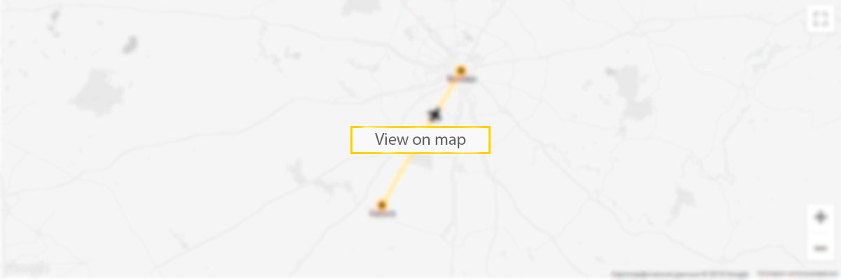
Columbia County airport on the map

5 reasons to sign up to our Deals newsletter
- flights deals
- travel inspiration
- travel hacks
- prize draws
- vacancies