Flights to Circle Hot Springs: airport
Nearest airports to Circle Hot Springs
- Central (13 km)
- Circle City (46 km)
- Woodchopper (56 km)
- Chena Hot Springs (82 km)
- Birch Creek (104 km)
- Fort Yukon (124 km)
- Chalkyitsik (135 km)
- Eielson AFB (148 km)
- Ladd AAF (158 km)
- Beaver (160 km)
- Metro Field (166 km)
- Delta Junction (168 km)
- Fairbanks International (169 km)
- Allen Army Airfield (174 km)
- Eagle (181 km)
- Venetie (187 km)
- Livengood (187 km)
- Chicken (202 km)
- Stevens Village (212 km)
- Clinton Creek (214 km)
- Minto (224 km)
- Boundary (228 km)
- Nenana Municipal (234 km)
- Tanacross (243 km)
- Tok (255 km)
- Rampart (255 km)
- Isabel Pass (260 km)
- Wrench Creek (272 km)
- Quartz Creek (272 km)
- Paf Warren (272 km)
- Naukiti (272 km)
- Brevig Mission (272 km)
- Keekorok (272 km)
- Fortuna Ledge (272 km)
- Healy Lake (275 km)
- Tetlin (281 km)
- Chandalar Lake (283 km)
- McKinley National Park (283 km)
- Manley Hot Springs (286 km)
- Arctic Village (296 km)
Information about Circle Hot Springs
Continent: North America
Country: USA (US)
City: Circle Hot Springs (CHP)
IATA code: CHP
ICAO code: KCHP
Latitude: 65.4854
Longitude: -144.611
Length of runway: 1119
Elevation AMSL: 291
Timezone: GMT -08:00
IANA Time Zone: America/Anchorage
Country: USA (US)
City: Circle Hot Springs (CHP)
IATA code: CHP
ICAO code: KCHP
Latitude: 65.4854
Longitude: -144.611
Length of runway: 1119
Elevation AMSL: 291
Timezone: GMT -08:00
IANA Time Zone: America/Anchorage
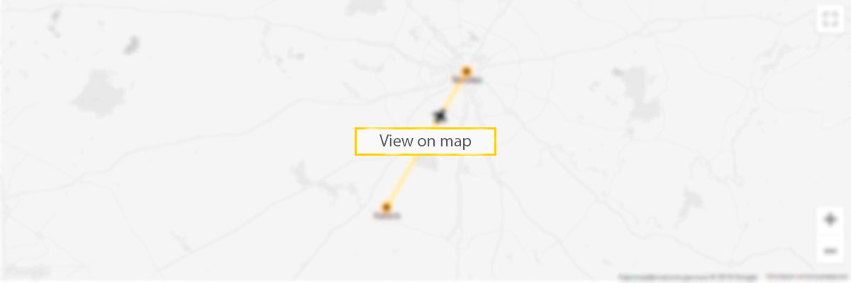
Circle Hot Springs airport on the map

5 reasons to sign up to our Deals newsletter
- flights deals
- travel inspiration
- travel hacks
- prize draws
- vacancies