Flights to Charleston, AFB Municipal: airport
Airport Flights Charleston International
The table shows direct flights, as well as the cost of air tickets for various directions of the airport Charleston International
Flights from Charleston International airport from Charleston
Route | Flight | Departure | Duration | Arrival | Price | |
---|---|---|---|---|---|---|
New York - Charleston | Delta (DL5622) | 20:55 | 2 h 13 m | 23:08 | 151 GBP | Search flights |
Nearest airports to Charleston International
- Lowcountry Regional (56 km)
- Beaufort County (78 km)
- Andrews (78 km)
- Georgetown County (81 km)
- Hilton Head (97 km)
- Orangeburg Municipal (98 km)
- Sumter (126 km)
- Shaw AFB (126 km)
- Barnwell Regional (132 km)
- McEntire JNGB (134 km)
- Myrtle Beach International (135 km)
- Savannah/Hilton Head (139 km)
- Hunter AAF (143 km)
- Florence (146 km)
- Jim Hamilton L. B. Owens (149 km)
- Columbia Metropolitan (153 km)
- Grand Strand Airport (159 km)
- Woodward Field (162 km)
- Bulloch County (166 km)
- Hartsville Regional (168 km)
- Aiken Municipal (174 km)
- Wright AAF (182 km)
- Dillon County (183 km)
- Bush Field (188 km)
- Bennettsville (194 km)
- Daniel Field (196 km)
- Cheraw (202 km)
- Lumberton (211 km)
- Maxton (220 km)
- Brunswick Golden Isles (227 km)
- Vidalia Regional (232 km)
- Malcolm McKinnon (233 km)
- Mackall AAF (243 km)
- Greenwood (247 km)
- Wilmington International (250 km)
- Rock Hill (251 km)
- Fayetteville Regional (256 km)
- Bhurban Heliport (258 km)
- Wilgrove Air Park (264 km)
- Moore County (267 km)
- Simmons AAF (269 km)
- Pope Field (270 km)
- Charlotte Douglas International (271 km)
- Sampson County (278 km)
- Dublin Barron Field Municipal (278 km)
- Telfair-Wheeler (281 km)
- Spartanburg Downtown Memorial (286 km)
- Ware County (288 km)
- Donaldson (299 km)
- Greenville-Spartanbur (300 km)
Airlines flying through Charleston International
Information about Charleston International
Continent: North America
Country: USA (US)
City: Charleston (CHS)
IATA code: CHS
ICAO code: KCHS
Latitude: 32.8986
Longitude: -80.0405
Length of runway: 2744
Elevation AMSL: 14
Timezone: GMT -04:00
IANA Time Zone: America/New_York
Country: USA (US)
City: Charleston (CHS)
IATA code: CHS
ICAO code: KCHS
Latitude: 32.8986
Longitude: -80.0405
Length of runway: 2744
Elevation AMSL: 14
Timezone: GMT -04:00
IANA Time Zone: America/New_York
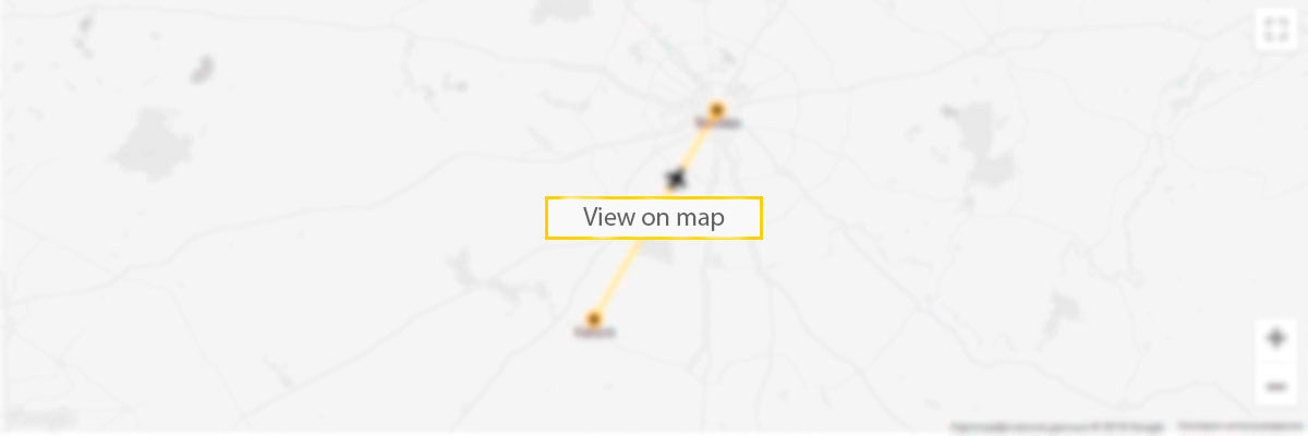
Charleston International airport on the map

5 reasons to sign up to our Deals newsletter
- flights deals
- travel inspiration
- travel hacks
- prize draws
- vacancies