Flights to Baldwin County: airport


Information about Baldwin County
Continent: North America
Country: USA (US)
City: Milledgeville (MLJ)
IATA code: MLJ
ICAO code: KMLJ
Latitude: 33.1542
Longitude: -83.2414
Length of runway: 1524
Elevation AMSL: 117
Timezone: GMT -04:00
IANA Time Zone: America/New_York
Country: USA (US)
City: Milledgeville (MLJ)
IATA code: MLJ
ICAO code: KMLJ
Latitude: 33.1542
Longitude: -83.2414
Length of runway: 1524
Elevation AMSL: 117
Timezone: GMT -04:00
IANA Time Zone: America/New_York
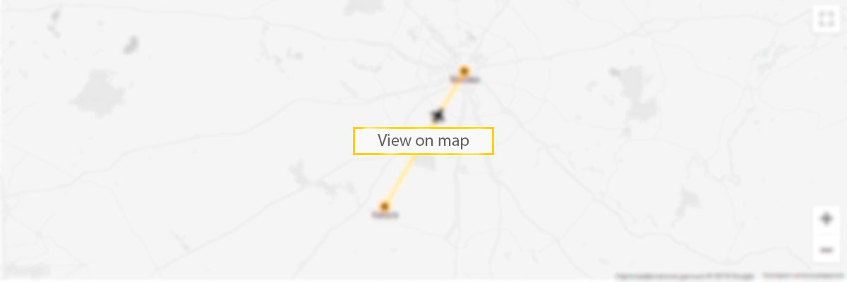
Baldwin County airport on the map
5 reasons to sign up to our Deals newsletter
- flights deals
- travel inspiration
- travel hacks
- prize draws
- vacancies